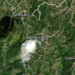
Old Pera is a small fishing village in south-eastern Jamaica, 15 minutes east of Morant Bay. The village is historic, with mountain and Caribbean sea views.
Type: Fishing Village
Category: Human Settlement and Locality
Latitude: 17.87487° or 17° 52' 30" north
Longitude: -76.31517° or 76° 18' 55" west
Elevation: 58 metres (190 feet)
Population: N/A
Parish: Saint Thomas
County: Surrey
Country: Jamaica
Region: Caribbean, West Indies (W.I.)
Continent: North America

