

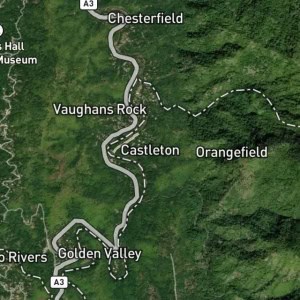
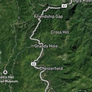
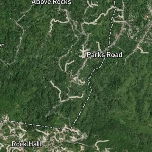
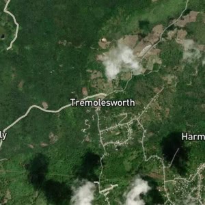
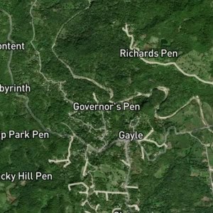
Staceyville is a hamlet in Douglas Castle, Clarendon, Jamaica. Staceyville is situated nearby to the hamlets Sandy River and Reckford.
Type: Locality
Category: Human Settlement
Latitude: 18.17597° or 18° 10' 34" north
Longitude: -77.26353° or 77° 15' 49" west
Elevation: 599 metres (1,965 feet)
Population: N/A
Parish: Clarendon
County: Middlesex
Country: Jamaica
Region: Caribbean, West Indies (W.I.)
Continent: North America
Type: Locality
Category: Human Settlement
Latitude: 18.17597° or 18° 10' 34" north
Longitude: -77.26353° or 77° 15' 49" west
Elevation: 599 metres (1,965 feet)
Population: N/A
Parish: Clarendon
County: Middlesex
Country: Jamaica
Region: Caribbean, West Indies (W.I.)
Continent: North America